By Dawson Ag
In today’s fast-evolving agricultural landscape, understanding what’s happening beneath the surface is just as important as what’s growing above it. That’s where precision soil mapping comes in. At Dawson Ag, we help farmers unlock the full potential of their land by using detailed soil data to make smarter, more profitable decisions.In today’s fast-evolving agricultural landscape, understanding what’s happening beneath the surface is just as important as what’s growing above it. That’s where precision soil mapping comes in. At Dawson Ag, we help farmers unlock the full potential of their land by using detailed soil data to make smarter, more profitable decisions.
1. What Is Precision Soil Mapping?
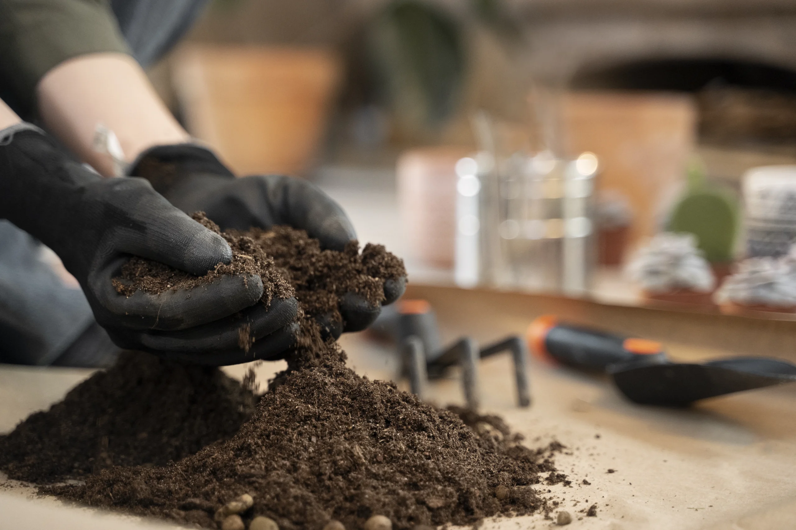
Precision soil mapping is a modern agronomic tool that uses advanced technologies—such as electromagnetic conductivity (EC) sensors, GPS/GIS integration, and online soil-property databases—to create highly detailed maps that reveal the variability across your paddocks.
Instead of treating every square metre the same, you can identify unique soil zones that differ in fertility, depth, moisture-holding capacity, texture, drainage, and nutrient levels. These maps give you the foundation to manage each part of your land according to its true potential—saving costs and maximising returns.
2. Why it matters for profitability
- Optimised input‑use: If you know which zones are low in fertility or are poorly drained you can target fertiliser, lime or amelioration only where it’s needed — reducing costs.
- Better crop‑response expectations: You can forecast which zones will respond best to certain inputs, cropping choices or rotations—and avoid wasted effort in low‑yield zones.
- Reduced risk: Poor drainage or shallow soils often under‑perform. Mapping helps you avoid putting high‑cost inputs into these zones without adjusting the plan.
- Improved yield consistency: Over time, the variability in yield across the paddock narrows when you manage each zone appropriately, lifting average yield.
- Strategic long‑term planning: Soil‑map data becomes part of the asset base of your farm: you can plan drainage works, soil‑amelioration programs and even capital investment more intelligently.
3. How it works in practice
- First step: collect baseline data (soil samples, EC scans, historical yields).
- Next: use GPS/GIS systems to map zones — we at Dawson Ag use industry‑standard equipment and techniques to create these maps.
- Then: overlay management data (e.g., past yields, inputs, paddock history) to validate zones.
- Finally: develop a zone‑specific plan: • fertiliser rates • lime/amelioration • drainage or sub‑surface works • crop rotation.
We also revisit and refine the maps after each harvest or major input cycle to keep the system current.
4. Case in point (hypothetical example)
Imagine a 500‑hectare dryland cropping block. After mapping:
– Zone A (200 ha): deep soil, good moisture‑holding → high response zone.
– Zone B (150 ha): medium depth, moderate fertility → moderate response.
– Zone C (150 ha): shallow, poor drainage → low response.
By targeting higher fertiliser and optimal variety in Zone A, moderate inputs in Zone B, and lower‑cost, risk‑managed cropping in Zone C, the grower increased overall paddock profitability by ~12% while reducing waste in the poorer zone.
5. Key tips for success
- Map before major investment (larger fertiliser, new variety, major drainage works).
- Keep maps updated — soil and paddock conditions change (erosion, compaction, past work).
- Use the data in decision‑making, not just collection. A map without action is wasted.
- Train your team to understand and use zone‑maps (rather than ‘one‑size‑fits‑all’).
- Link mapping data to your farm‑management system (e.g., yield monitoring, input costs) for true profitability tracking.
6. How Dawson Ag can help
At Dawson Ag we provide: soil‑sampling programmes, EM/EC scans, GPS/GIS zone mapping, drainage and design work, tailored agronomic advice to turn the maps into action. Our regional experience in Southern Queensland and Northern NSW gives us the local soil, climate and crop‑system knowledge you need.
If you’re ready to move from “blanket” management into precision‑zone management, let’s talk — book a consultation with our team today.
Precision soil mapping isn’t just a fad — it’s a tool that drives smarter decisions, lower risk and higher returns. The investment in the mapping pays off when you turn the data into action. At Dawson Ag we’re ready to help you step into that next level of farm‑management.